
The Buena Vista Project
What is it? The Buena Vista Project is a 986-unit mixed-use development project proposed by the Riboli Family (owners of San Antonio Winery and Stella Rosa wines) containing 15,000 sq. ft. of retail space, 23,800 sq. ft. of restaurant space, and 132,949 sq. ft. of privately owned but ‘accessible’ open space. The project site is 8.08 acres large and is part of the original 50-acre parcel known as ‘The Cornfields’ — a former rail yard of the Southern Pacific Railroad.
The developers have split the project into the “North Parcel” and “South Parcel”, joined together by a narrow strip of land slated for use as “open space”.
The North Parcel comprises a two-story podium that connects three buildings: the North building, a 15-story structure; the courtyard building, a six-story building; and the retail block building, a three-story building.
Development concept drawing for North Parcel. This is what the project would look like from the LA State Historic Park. From Section II, Project Description.
The South Parcel would be developed with a six-story podium connecting two buildings: a 26-story and a 22-story residential building .
Development concept drawing for South Parcel. This is what the project would look like from the LA State Historic Park. From Section II, Project Description.
To build the project, the owners will have to demolish an existing auto repair shop and partially demolish the rear addition to the Golden Dragon Restaurant.
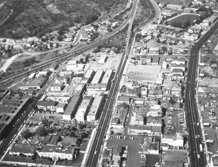
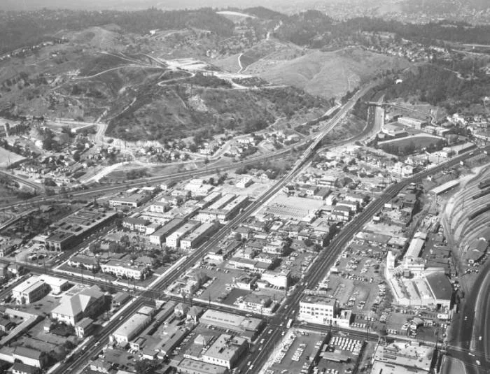
Where? The project will be located along N. Broadway, surrounding the northern border of the LA State Historic Park in the communities of Chinatown and Solano Canyon and near the communities of Lincoln Heights, William Mead/Dogtown, and Elysian Valley.
Protect Residents, Not Developers: Hazardous Waste Overlooked
Former Site uses for all 50-acres of the Cornfields. Note the SOURCE: PHASE 1 ENVIRONMENTAL SITE ASSESSMENT for Cornfields.
The 8.0-acre project site, once part of the original Cornfield property owned by the Southern Pacific Railroad, has a long history of industrial and automotive uses that have left behind multiple recognized and unrecognized environmental concerns.
On the South Parcel, past uses included an automotive and equipment workshop, a motor car repair shop southeast of the current maintenance building, a signal shop, and at least four gasoline underground storage tanks (ranging from 435 to 12,000 gallons) of undocumented location. Given that gasoline often contained tetraethyl lead before the 1994 phase-out of leaded gasoline, any leaks or releases in these tanks could have contributed significant lead contamination to surrounding soils. Buried railroad spurs tied to the Southern Pacific Railroad were also identified, along with risks of benzene vapor intrusion.
The North Parcel contained two abandoned oil wells (only one located) and was historically occupied by a Texaco gas station that closed in 1989. This station had four large underground storage tanks and, after its demolition in 1990, underwent partial remediation focused on petroleum hydrocarbons. Tanks and some contaminated soils were removed, and vapor extraction wells were installed to address benzene and toluene, but no remediation of heavy metals was undertaken. A leaking underground storage tank (LUST) case was closed in 1997, based on soil samples collected prior to the phase-out of leaded gasoline in 1994. The North Parcel also lies directly adjacent to a four-acre portion of Los Angeles State Historic Park that is still under active remediation for lead and arsenic contamination.
In their Draft EIR, the developers and consultants list numerous RECs—nearly all associated with petroleum hydrocarbons and vapor intrusion—but explicitly do not recognize heavy metals as a REC. For the South Parcel, they cite pending closure of groundwater monitoring wells, potential offsite benzene plumes, and five undocumented underground storage tanks. For the North Parcel, they note abandoned oil wells but downplay their risk, and while they acknowledge the presence of arsenic and lead in the former Cornfields below, they dismiss the risk by citing the site’s slightly higher elevation relative to the park.
Excerpt from Appendix F: Hazardous Materials Report, PHASE 1 ENVIRONMENTAL SITE ASSESSMENT RIBOLI SITE, Page 19. This is the only reference to heavy metals in the entire Hazardous Waste assessment for the project’s current DEIR.
South Parcel’s RECs, according to the Buena Vista Project
The pending closure of groundwater monitoring wells (MW-2 and MW-18), located in the South Parcel and last sampled in 2003 and 2007, respectively, and found no VOCs. Listed as REC due to LARWQCB listing the wells as “open-verification monitoring”.
An offsite benzene plume may extend within 100 ft of the project site in the South Parcel, possibly representing a vapor encroachment concern (VEC). Recent Annual Groundwater testing in 2023 for the Cornfields shows this well (BMW-4) still contains significant benzene at 243 μg/L and above California’s 1 μg/L limit. They cite the project’s underground parking structures and ventilation systems as adequate mitigation measures for the project’s future residents.
Evidence via permits suggests that four gasoline underground storage tanks associated with the Southern Pacific Railroad, ranging in size from 435 to 12,121 gallons in volume, and one 8,000 gallon gasoline historical underground storage tank associated the the LA Signal Shop are present at South Parcel. The exact locations of these 5 tanks is unknown and is an REC for the project.
North Parcel’s RECs, according to the Buena Vista Project
Two abandoned oil wells located on the project site are not recognized as an REC by the developer. Consultants Ramboll detected high levels of methane near one of the wells, suggesting CalGEM expose, leak test, and potentially re-abandon the well.
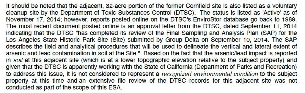
Developers acknowledge the presence of the heavy metals Arsenic and Lead in the former Cornfields below, but cite that the site’s higher elevation to the LA State Historic Park as sufficient to say heavy metals are not an REC for the project.
Highest levels of Soil Lead and Arsenic border the North Parcel of the Buena Vista Project. SOURCE: Final Removal Action Work Plan- November 2002 for the Cornfields.
This dismissal is indefensible. Historic sampling in Los Angeles State Historic Park, including the data map attached here, demonstrates significant detections of lead and arsenic directly adjacent to the Buena Vista site, at concentrations requiring excavation and removal. Given that this 8-acre parcel was part of the same Southern Pacific Railroad Cornfield property, it is reasonable—and necessary—to assume that heavy metals may also be present here. The lack of any soil investigation for metals on the Buena Vista site represents a critical data gap.
Therefore, the Final EIR must mandate comprehensive soil investigations for heavy metals, particularly lead and arsenic, before project approval. Without such investigation, the public cannot be assured that the project is safe, nor that the longstanding environmental burdens of the Cornfield site are being fully addressed.